Dams and Levees
Kingsley Dam
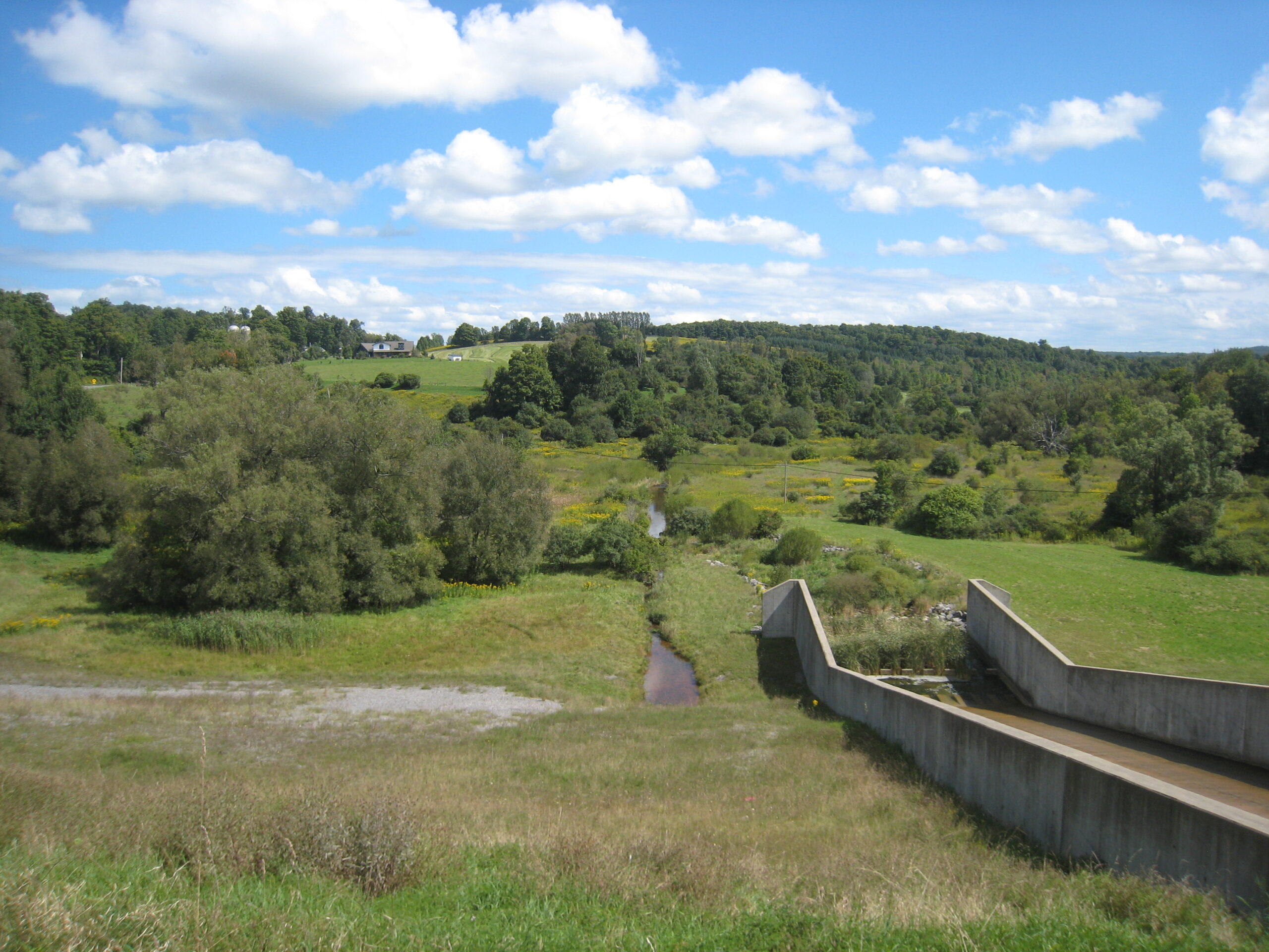
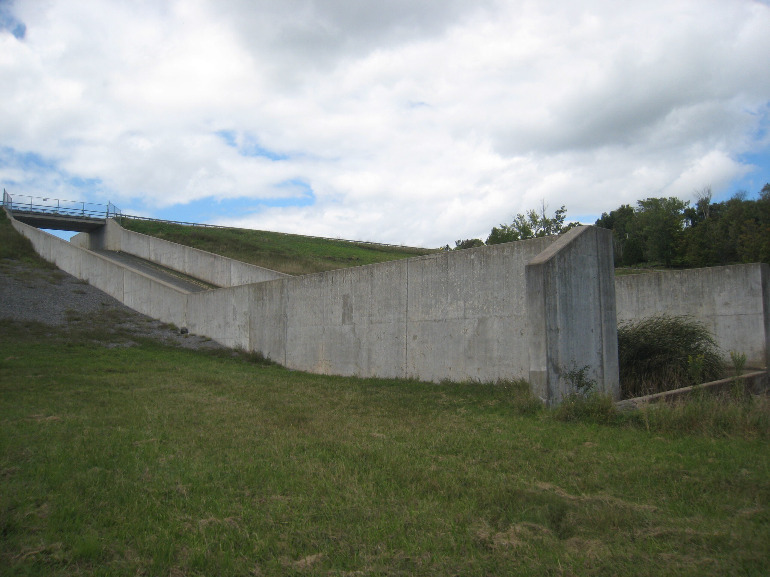
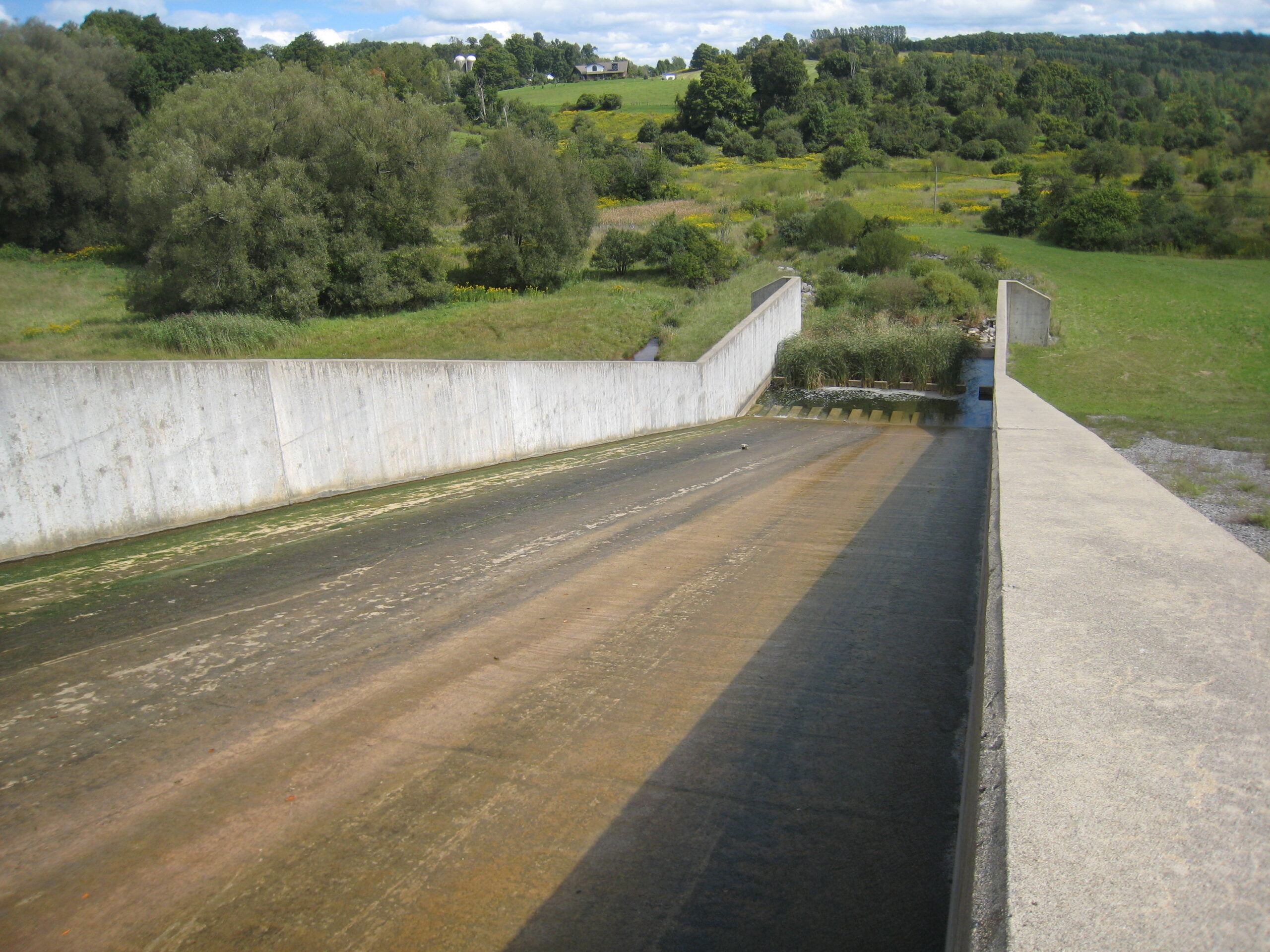
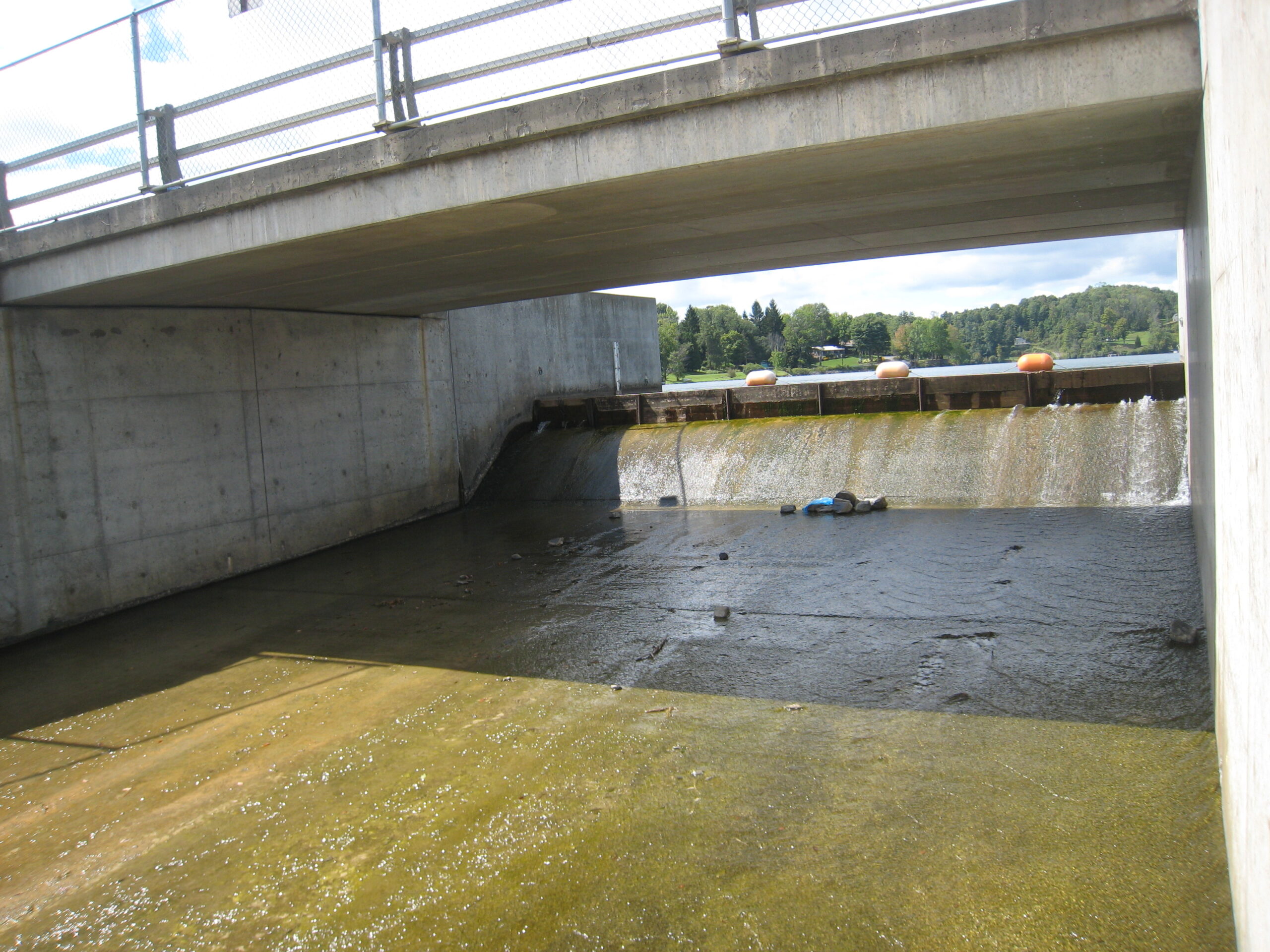
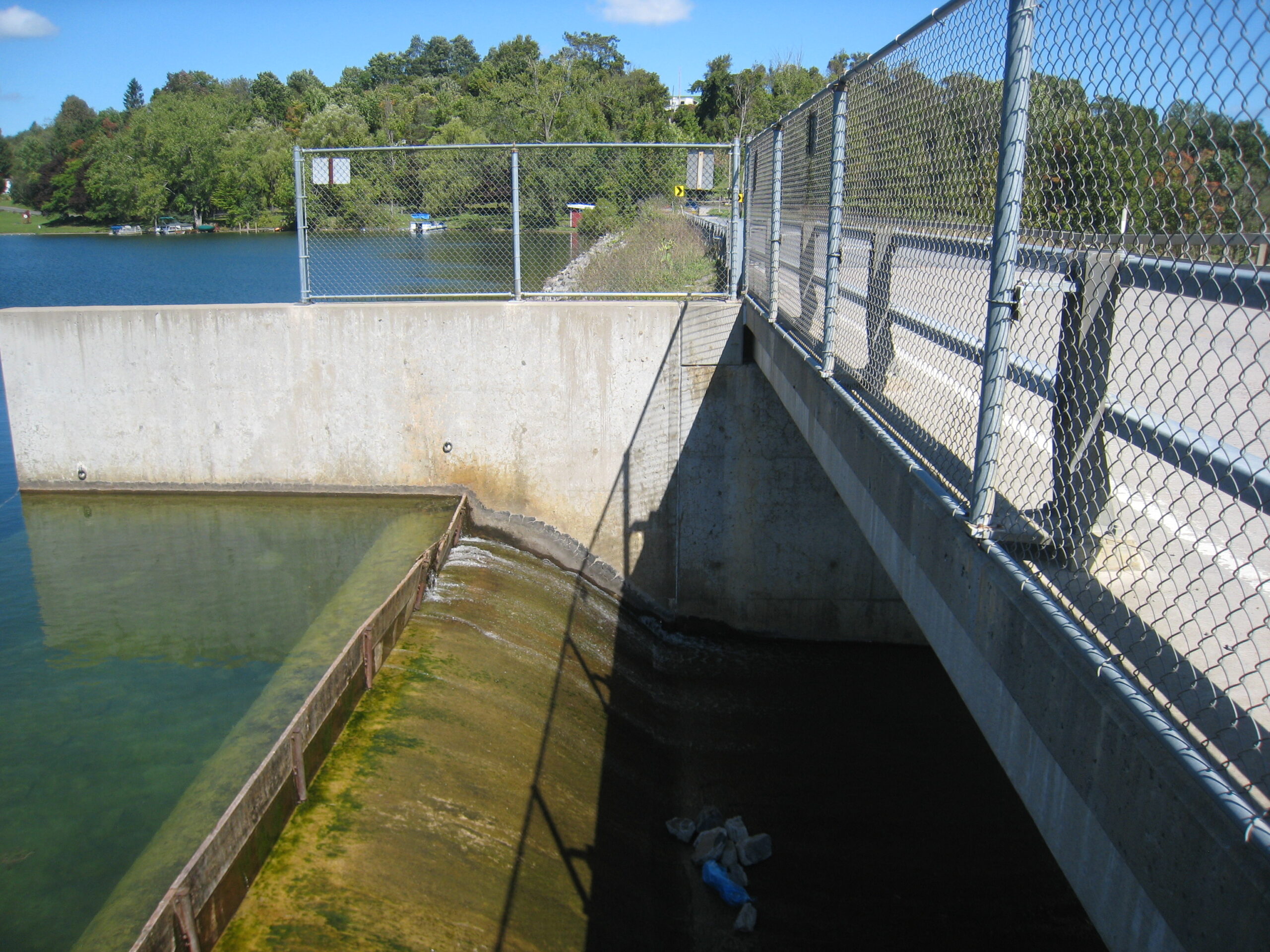
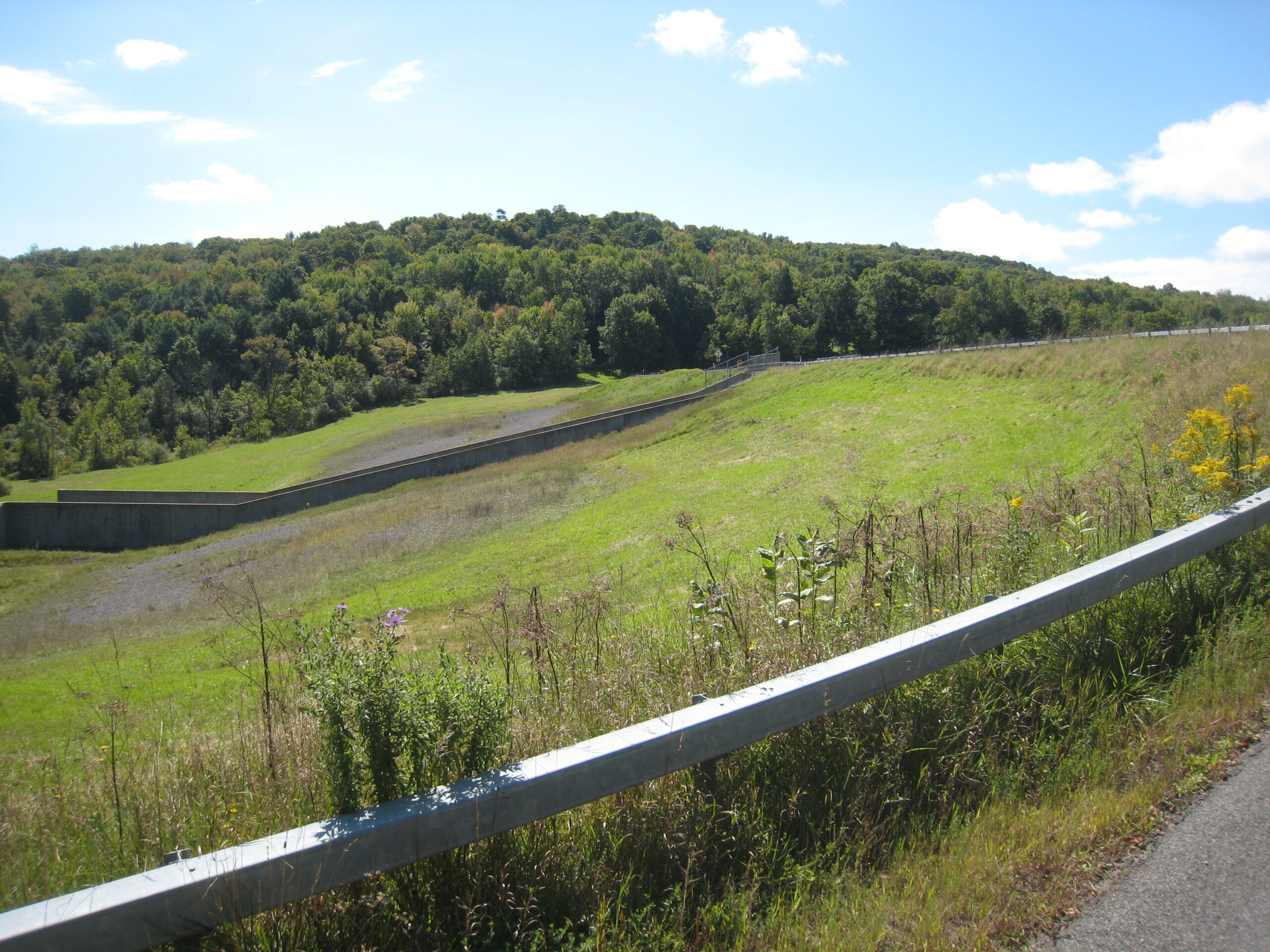
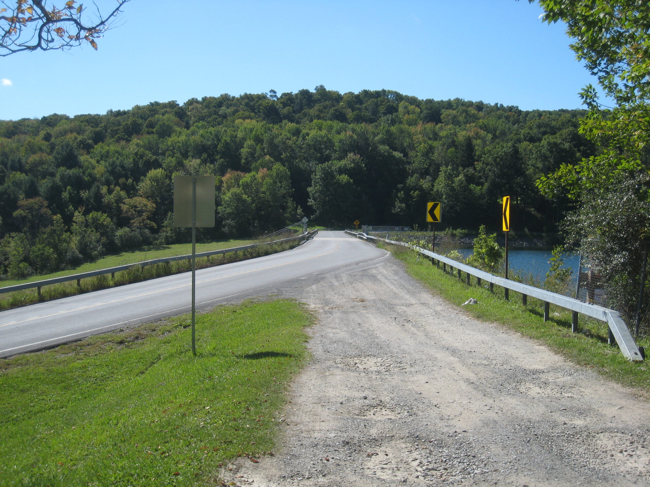
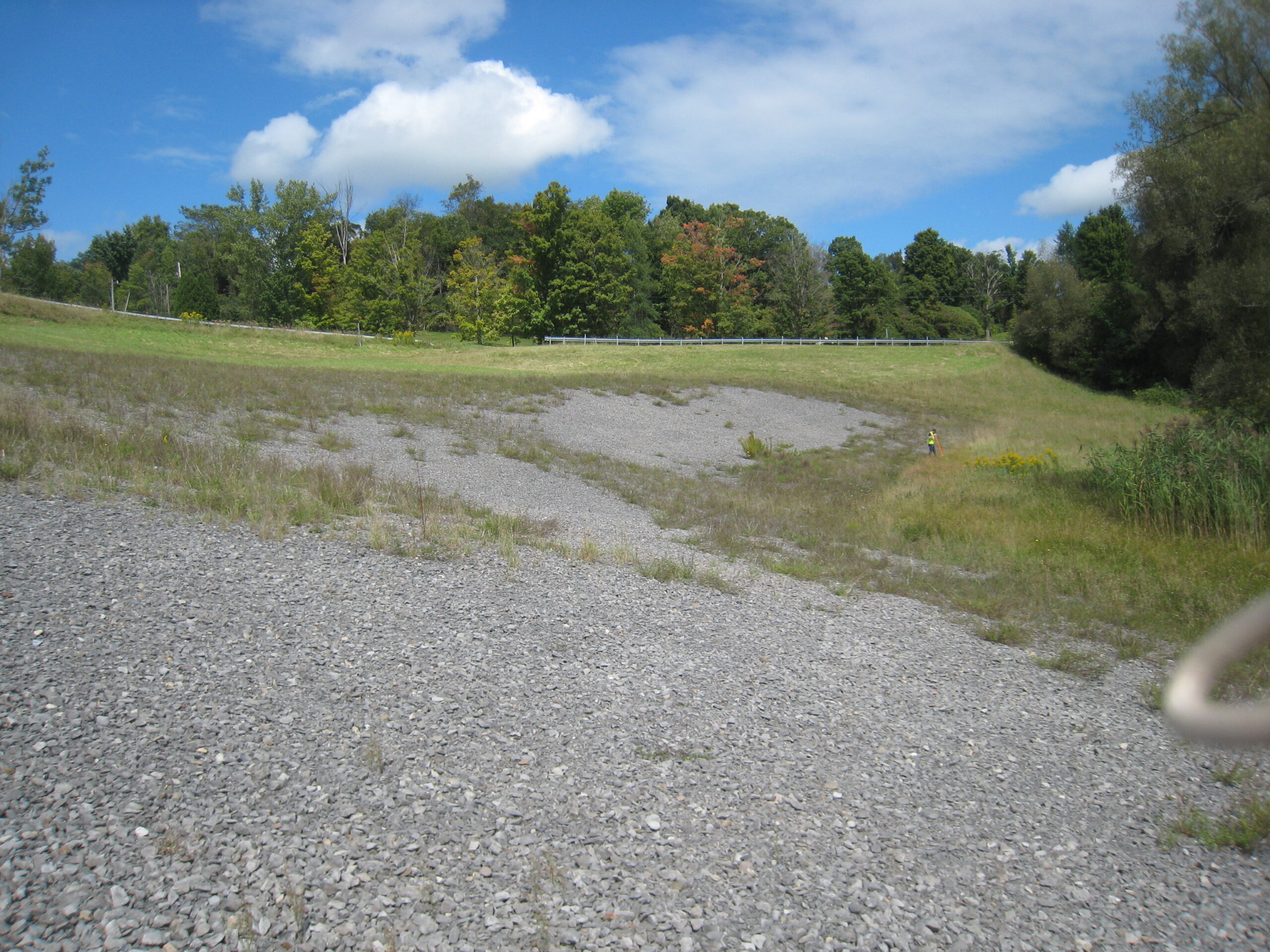
The Kingsley Brook Dam is owned by the State of New York under the jurisdiction of the NYSCC. The dam is located in Madison County, approximately 3 miles northeast of the town center of Lebanon and about 3.5 miles southwest of the Village of Hamilton. It is oriented in a north-south direction at the east end of Lebanon Reservoir. Reservoir Road (County Route 66) extends along the crest of the dam. The crest is approximately 900 feet long, 25 feet wide, and 63 feet higher than the downstream area at Elevation 1319. The dam has a concrete spillway located near its center. Reservoir Road is supported by a reinforced concrete bridge over the spillway.