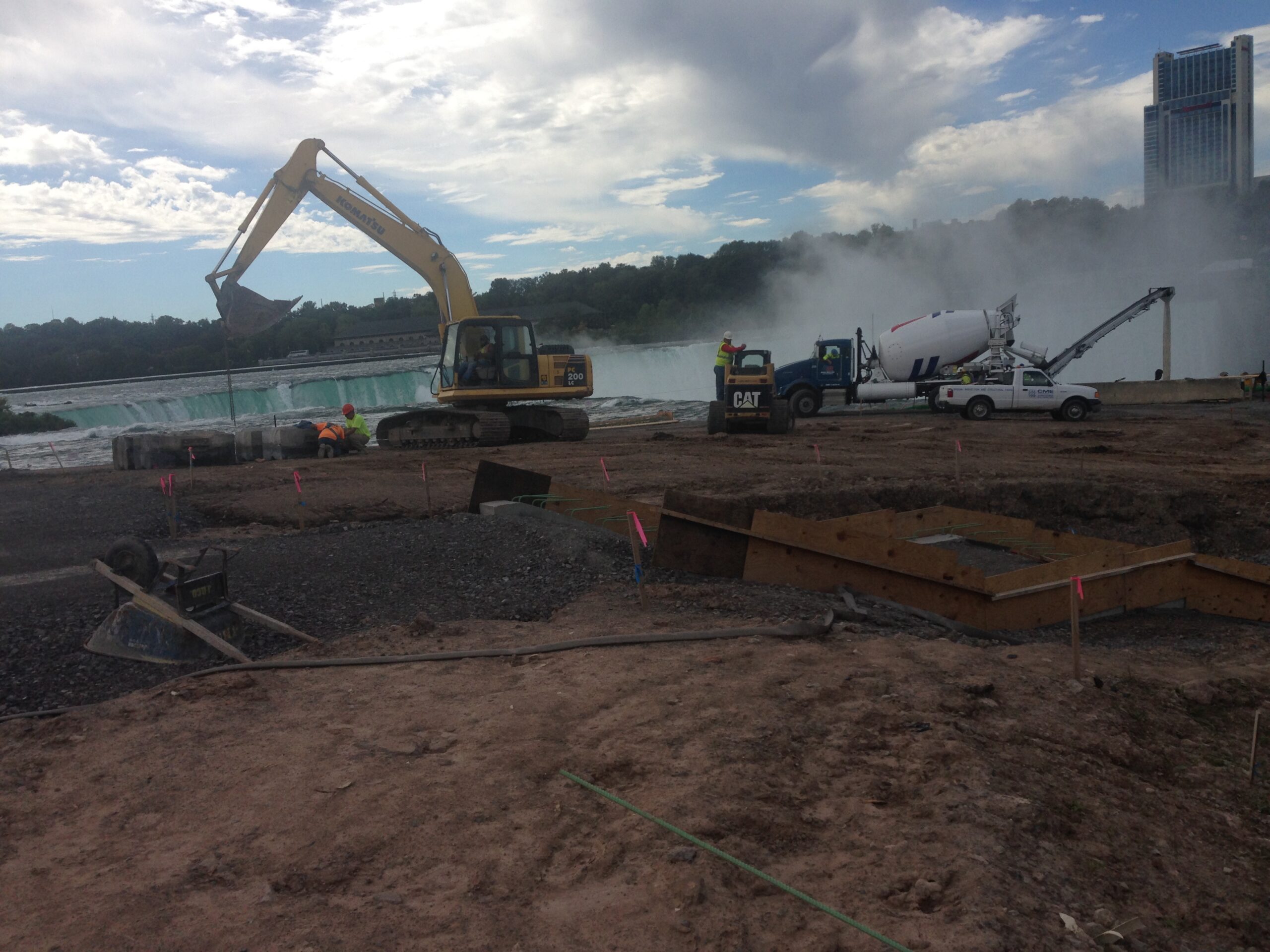
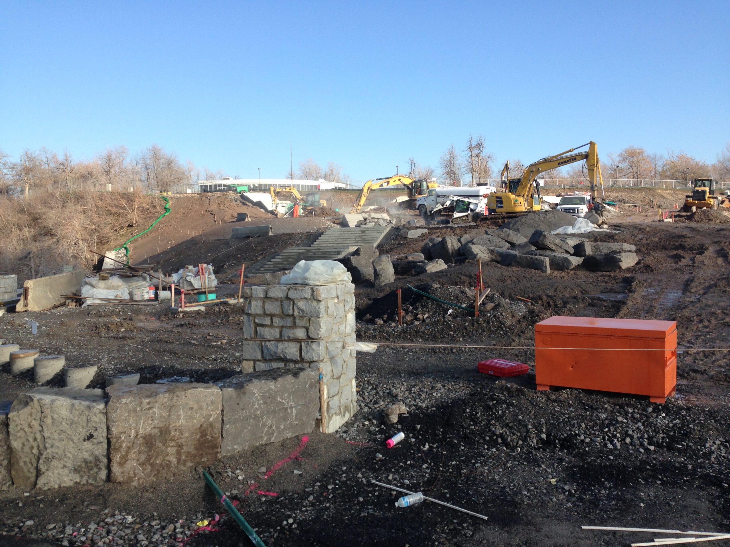
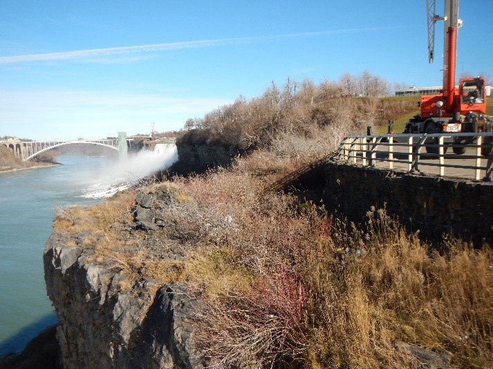
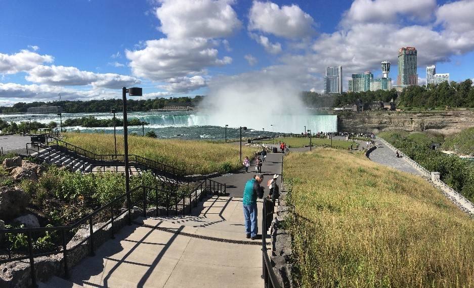
Slope Stabilization Engineering
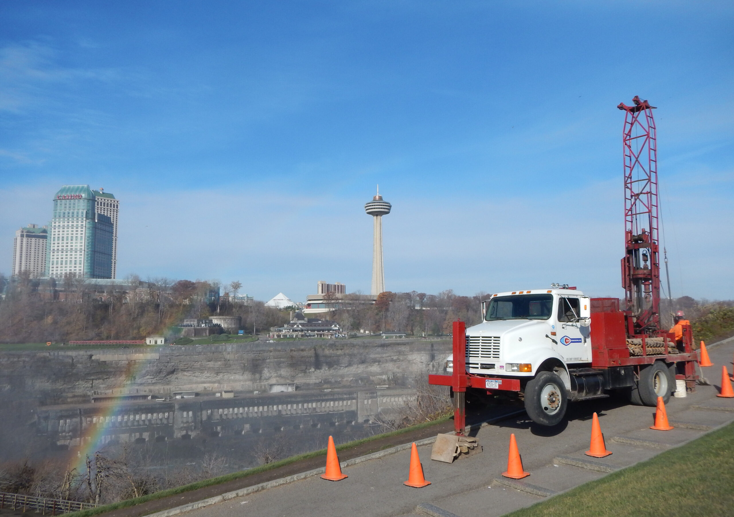
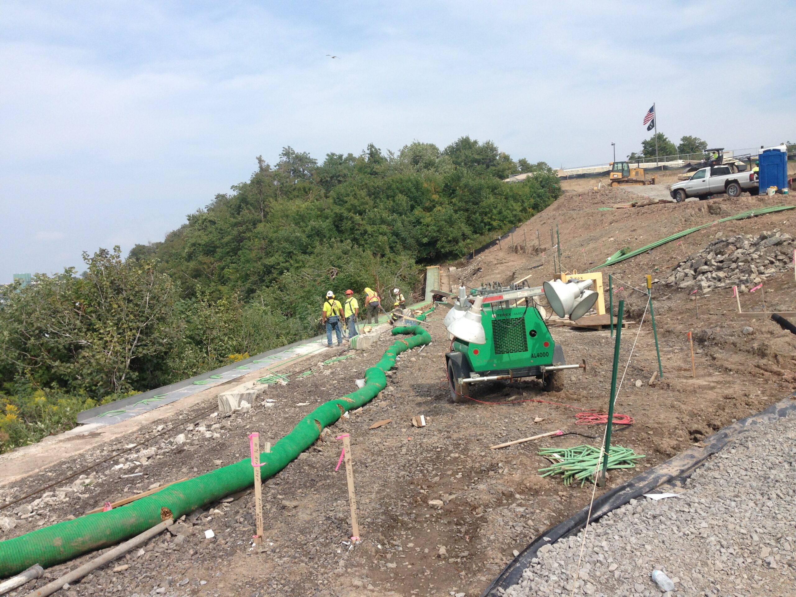
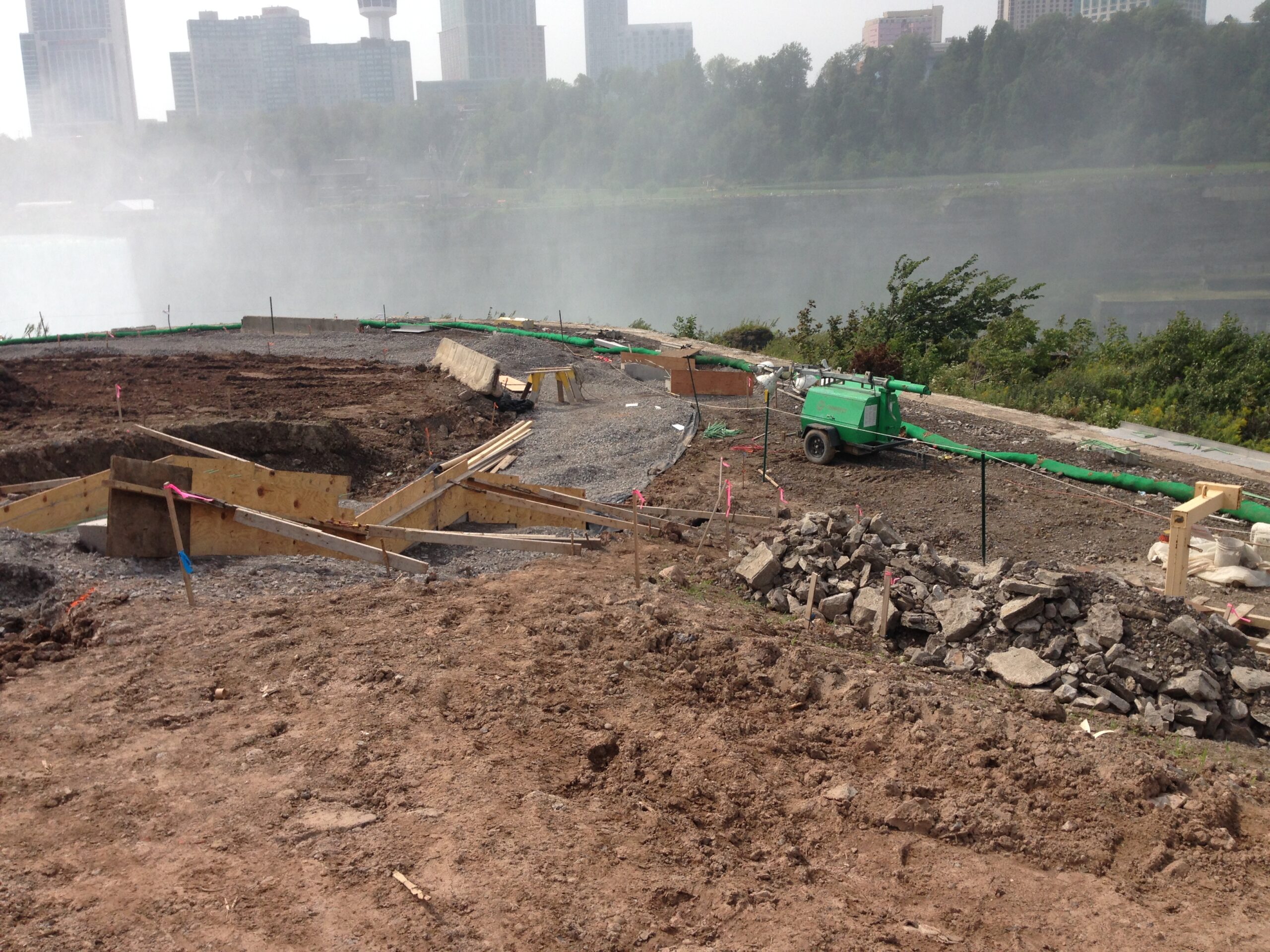
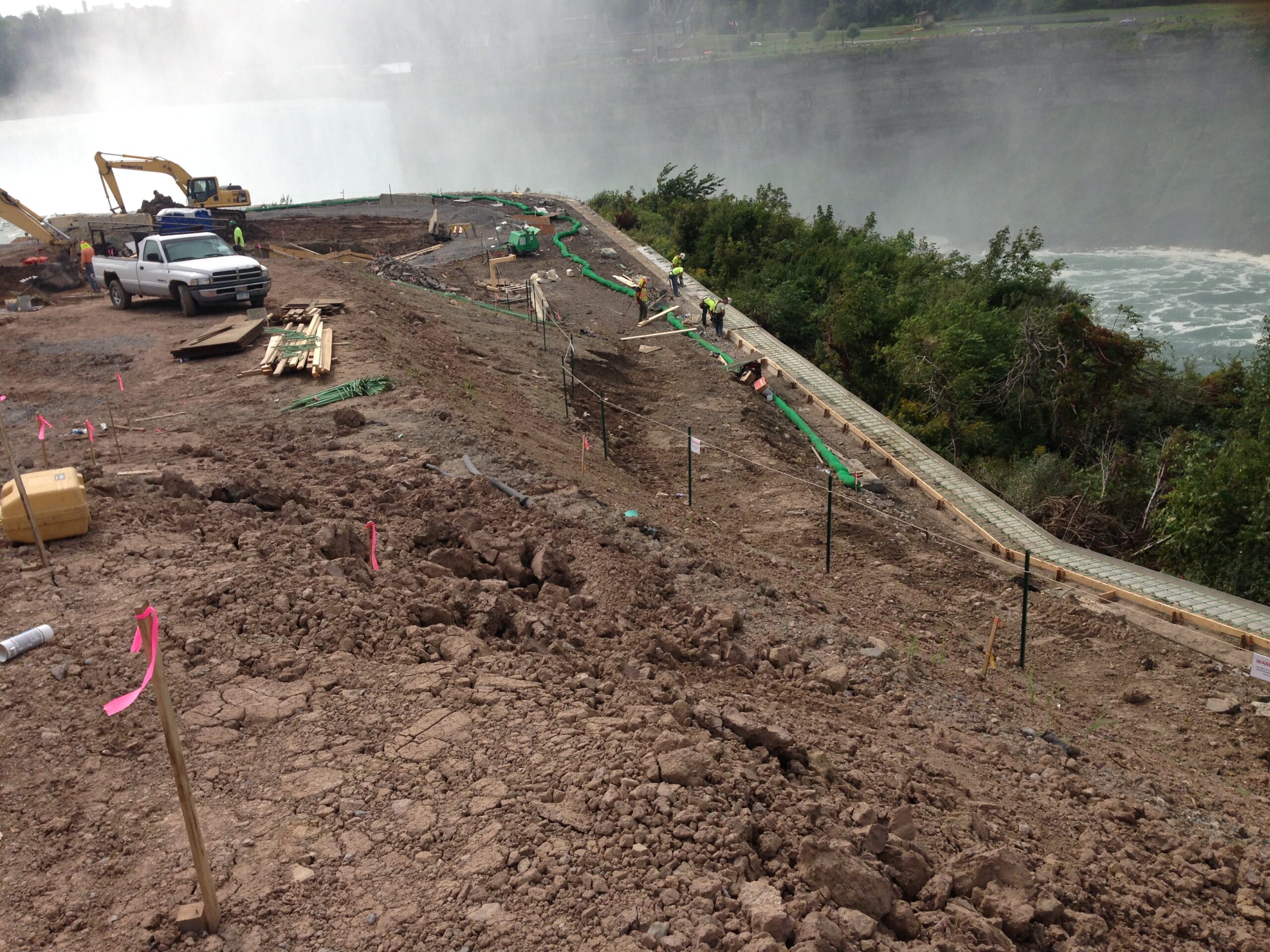
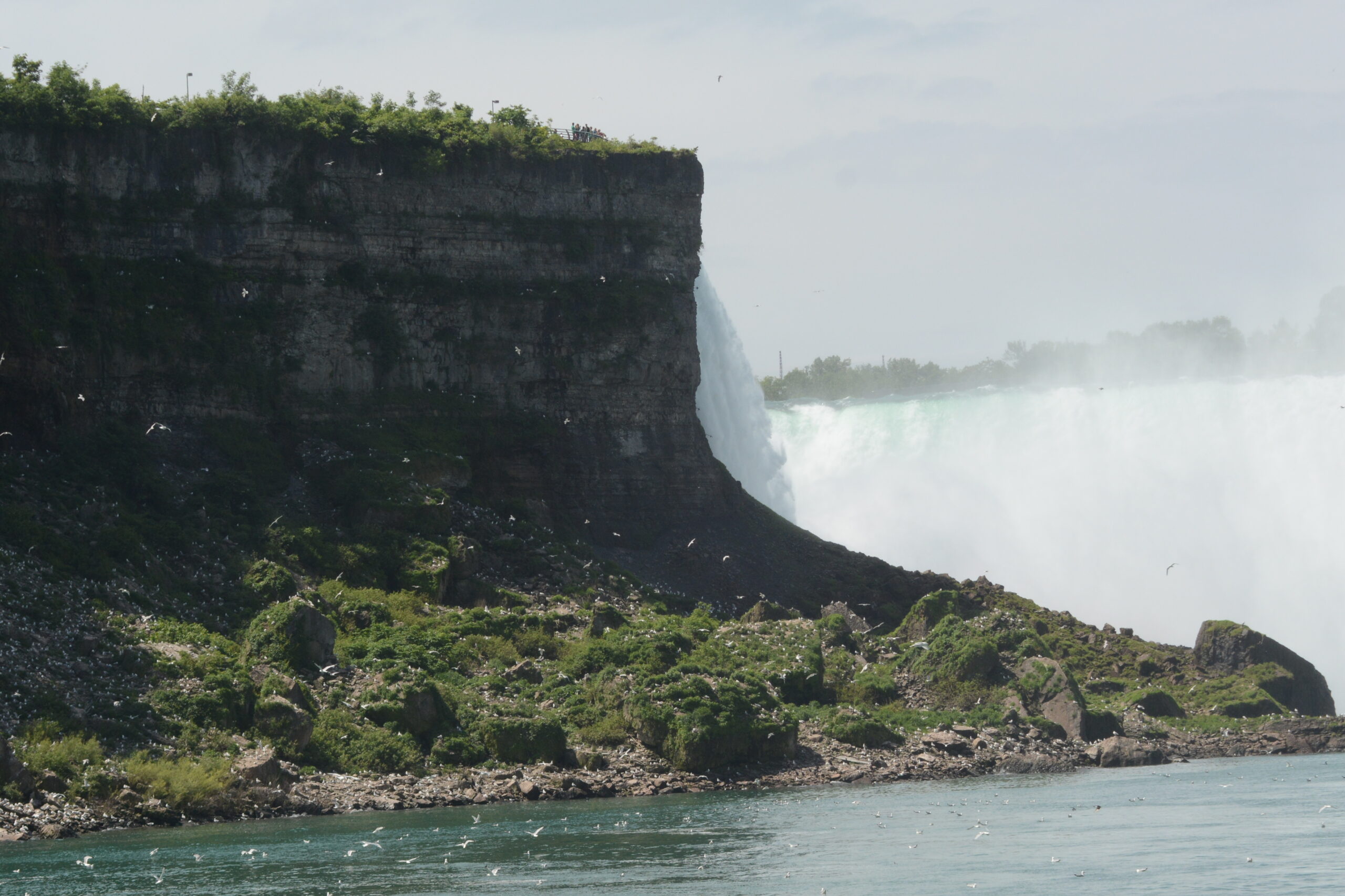
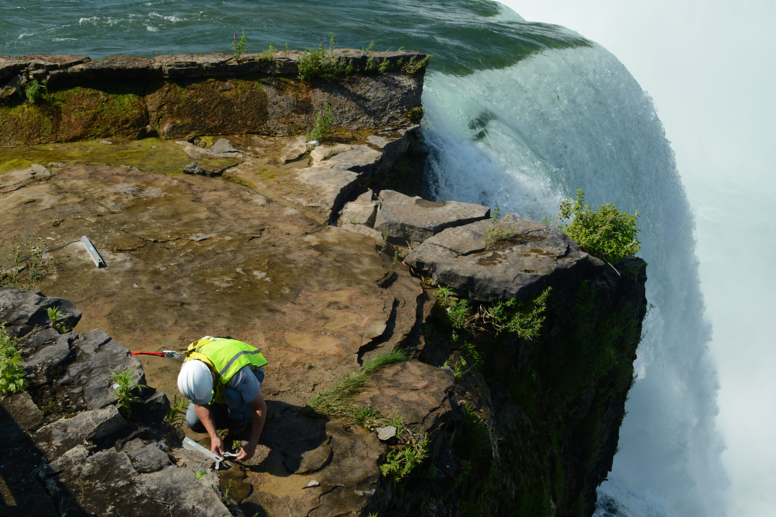
Terrapin Point

McMahon & Mann completed subsurface explorations, mapped the geology of Terrapin Point, and prepared a report documenting our observations and our geotechnical design recommendations for the improvements. We remained involved during construction to confirm our findings from the subsurface exploration and to monitor the slope conditions as construction progressed near the crest of the gorge.

Location

Niagara Falls State Park, New York

Client

New York State Office of Parks, Recreation and Historic Preservation

Date

2013-2016

Terrapin Point is located on the southwest side of Goat Island next to the Horseshoe Falls. Terrapin Point was transformed from what used to be the bed of the Niagara River to one of the prime vantage points for viewing the falls and the lower Niagara River Gorge. First, in around 1850, a tower was constructed and access to the tower was by timber boardwalks. Later in the 1950s, the river was diverted, and the river bed was filled to create landscaped lawns and trails. In 1983, an over-hanging mass of rock was blasted off of Terrapin Point to stabilize and enhance the viewing areas.

In 2013, the New York State Office of Parks, Recreation and Historic Preservation planned to make improvements at Terrapin Point. The improvements included; enhancing the scenic views of the river and the falls; construction of new retaining walls; installation of new pavement surfaces; and renovating the railing and stone wall that surrounds Terrapin Point.

McMahon & Mann completed subsurface explorations, mapped the geology of Terrapin Point, and prepared a report documenting our observations and our geotechnical design recommendations for the improvements. We remained involved during construction to confirm our findings from the subsurface exploration and to monitor the slope conditions as construction progressed near the crest of the gorge. Construction was completed in Spring 2016.

Shape

Explore More Projects